
Wildfires in the Canadian Wilderness
- The Wilderness Medic

- Sep 1, 2019
- 4 min read
Updated: Jun 7, 2022
The next few blog entries that I shall be writing will cover my recent trip to the Yukon with British Exploring, where I worked supporting a group of approximately fifty 16-25 year olds as they camped and hiked through the Canadian wilderness. The Yukon is the smallest of Canada's territories and borders Alaska to the West and North West.

The expedition lasted for 3 weeks in total and it was hugely rewarding to see so many young people develop and grow in confidence during this time. I am sure that they will have great memories of what will surely have been a life-changing journey, and I am pleased to have been part of it. I gained valuable skills and made some great memories and friends.
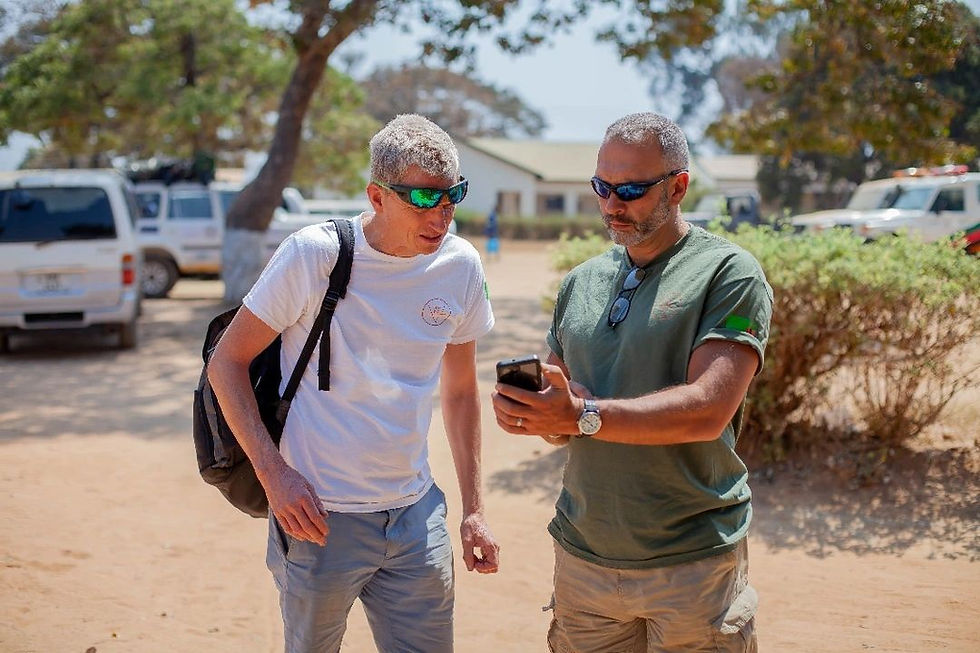
I went to the Yukon as part of the advanced party to help check kit, prepare the basecamp and do any last minute jobs, before the main party came to join us a week later. Myself and four other leaders had been in Canada for a few days, driven a few hundred kilometres, recced our proposed basecamp and everything seemed to be shaping up nicely.
We headed back to our staging post, 500km away, in the city of Whitehorse, feeling pretty pleased with ourselves.
As with all expeditions there were challenges, the most significant being the Shanghai Creek Forest Fire that threatened to stop the expedition in its tracks before it had even begun.

Unfortunately a forest fire had started 15km from our basecamp and had more than doubled in size.
This prompted the issue of an evacuation alert for kilometres 83 to 111 of the Silver Trail, one of the main roads to our proposed basecamp.

With only a few days until the rest of the group arrived, this was an obstacle that we could have done without!
The fire had grown to a size of 6,865 hectares and a meeting had been planned in the nearest town of Keno City. I was concerned as we had several asthmatics with us who were at risk of exacerbation, and we were potentially travelling to a location that could experience rapidly changing smoke levels.
In a worst case scenario this could potentially result in significant smoke inhalation, acute respiratory distress, CO toxicity or airway burns, and we did not have the kit or expertise to manage this potential risk.


With the help of Google and various guidelines, we set about assessing the potential threat posed by the fire. The next part of the blog shares some of these resources, should you need them when travelling in the future!
This website was very useful and was able to give us a 48 hour forecast of predicted smoke movements.

Unfortunately, the highest levels of smoke particulates were forecast for the day when the main expedition was due to arrive at basecamp (around 120-250ppm).
We wanted to know the significance of the ppm levels so we looked through various public health guidelines to find a useful summary document. The best chart, produced by the health authorities in British Columbia, can be seen below:

A ppm level of over 101 is the threshold for the highest risk category, so the proposed basecamp forecast could be well above these levels.
Various organisations within the USA, including the California Office of Environmental Health Hazard Assessment, have come together to create a useful summary document, aimed mainly at public health officials.
This is accessible through the link above and contains a lot of valuable information about the composition of smoke, the health effects and also how to mitigate for this. It is well worth a read if you are travelling to somewhere that is prone to the threat of wildfires.
Unfortunately much of the advice focused around staying indoors, closing windows, avoiding activities, using air conditioning units and not smoking. None of these options are particularly useful when trekking or camping!
We eventually decided to delay our departure and a group of us headed back to our proposed basecamp location to potentially retrieve our kit and assess the situation on the ground.
Towards the end of our 8 hour drive, we met with a group of firefighters who had been hard at work, using helicopters to quell the fire and establishing large areas of firebreaks.


Luckily, there had also been an unseasonably heavy downpour overnight and the fire was now smouldering. The teams on the ground felt that they now had the fire under control and that it would be safe for us to proceed with our expedition as planned.
At this point we all breathed a sigh of relief. We faced another long journey back to Whitehorse but with scenery as beautiful as this, we could not complain.

In the end we got to our proposed basecamp, albeit a day or two later than planned. My upcoming blogs will discuss what we got up to and also cover some topics that are useful to be aware of when managing groups such as this.
Until then, safe travels
Daniel


Comments